Flood level determination
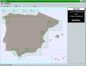
Atlas is a software which presents the visualization of the results obtained in the thematic document on flood levels, designed within the framework of the “Coastal Modelling Aid System” project.
It allows us to obtain the mean and extreme tidal and flood regimes for the Spanish coast.
Some of the possible uses of the Atlas software are:
- Determination of the berm height associated to a beach planform.
- Determination of the level related to the tidal range.
- Definition of the freebord in the design of any marine structures (breakwaters, walls, etc.).


